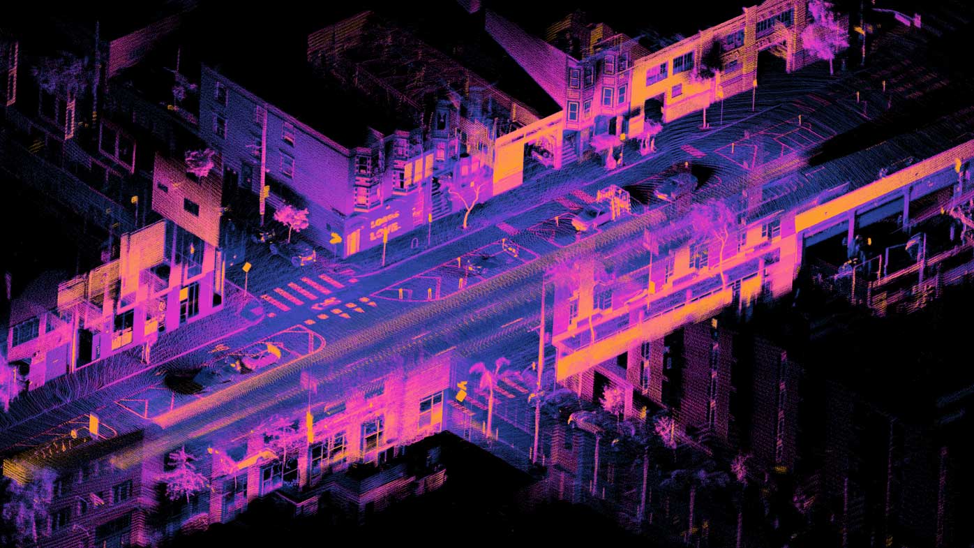
LiDAR (Light Detection and Ranging) is a sensing technology that measures distance by emitting laser light and analyzing the reflected signals.
Robots can use LiDAR to detect objects and surfaces and construct detailed 2D or 3D representations of an environment. LiDAR is used in autonomous mobile robots (AMRs) for mapping, localization, navigation and obstacle detection.
LiDAR can be combined with cameras, IMUs, encoders and other sensors to improve a robot's understanding of its environment.
Related terms: SLAM, AMR, Sensor Fusion, Computer Vision, Navigation
Get news, papers, media and research delivered. Sign up for our free newsletters.
Stay up-to-date with news and resources you need to do your job. Research industry trends, compare companies and get weekly market intelligence with Robotics 24/7.
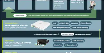
Edge computing gives AI agents the processing power to turn instructions into…

Colette Kress, current EVP and CFO of NVIDIA named interim CEO

China's Office of the Working Mechanism for Foreign Investment Security…

President Trump orders a review of robotics imports over national security…