Found in Robotics News & Content, with a score of 0.64
March 22, 2021
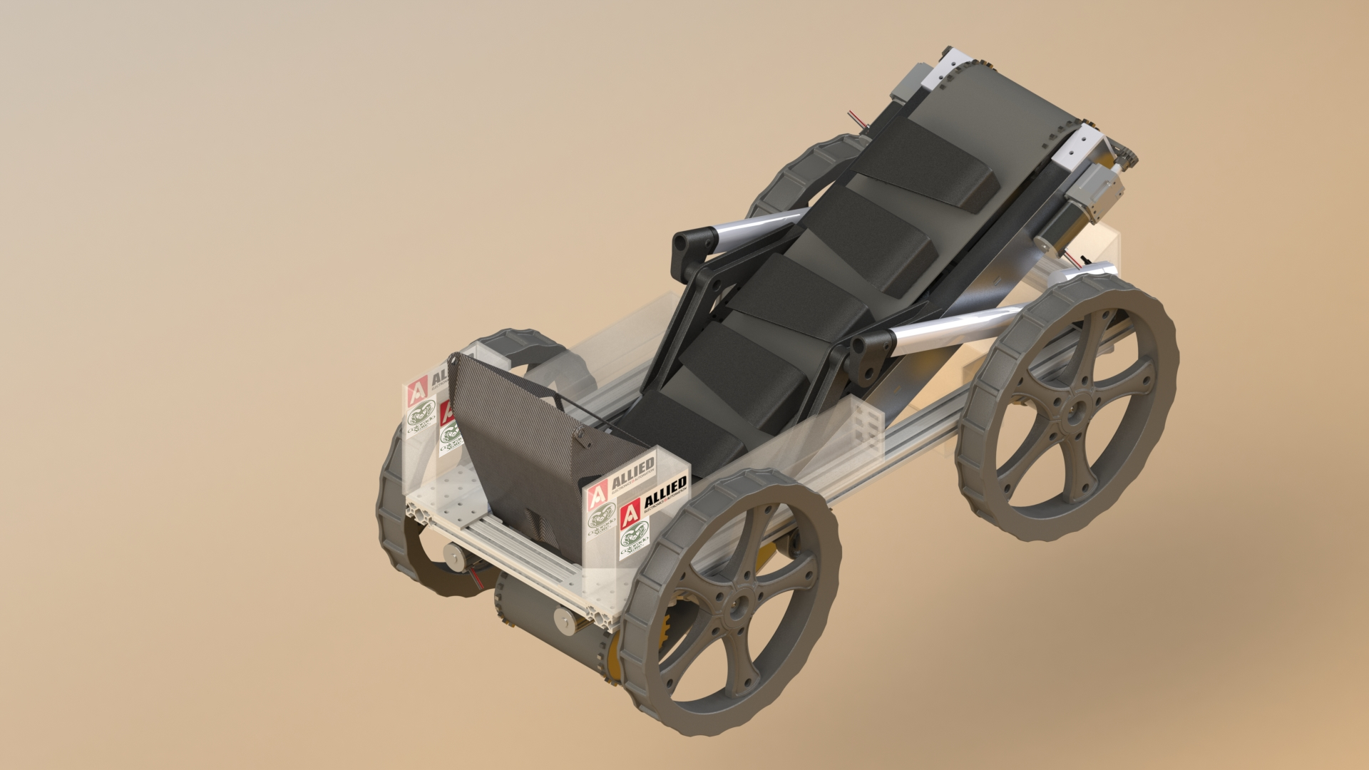
…deposit point and geolocate itself without the aid of GPS. Each year, the Lunabotics RMC competitors improve the designs of their excavation robots from past years with better mechanical systems and improved sensors and autonomy software. The teams participate in multiple events throughout the year, and the CSU team has continued to improve its robot despite the 2020 on-site competition being cancelled due to COVID-19. The CSU team said it has made significant upgrades to its vehicle in 2021, replacing its previous auger mining system with a system of buckets on a ladder belt that scoop material from the ground…
Found in Robotics News & Content, with a score of 3.32
March 18, 2021
…on high-definition 3D models of indoor parking facilities, where GPS signals are typically restricted. Indoor parking facilities currently present many challenges for drivers. These include navigation system blackouts, finding a vehicle within large parking facilities, and locating vital services such as electric vehicle charging stations. London-based Parkopedia said its indoor mapping technology can be used in the following use cases: In-vehicle indoor navigation—no GPS dead zones Precise indoor positioning—locate your vehicle Automated valet parking—self-parking cars require indoor maps As the automotive industry embraces a connected future, indoor mapping technology will deliver further key benefits to users, claimed the company. For…
Found in Robotics News & Content, with a score of 0.63
February 22, 2021
…Cloud, they said, and FourKites’ connectivity to telematics and GPS providers, coupled with its market-leading machine learning-based ETA engine provides a true depiction of when freight will arrive. “Although both FourKites and Tive provide visibility for in-transit freight, they are complementary in their offerings and value,” explained Nimesh Patel, VP of Global Business Development at FourKites. “Tive provides real-time data of the product inside the trailer, which includes location, temperature, impact and light exposure, through their proprietary multi-sensor trackers, while FourKites provides end-to-end predictive visibility and market-leading ETAs using machine-learning algorithms, which are then integrated into its yard and appointment…
Found in Robotics News & Content, with a score of 0.45
July 13, 2020
…and productivity, digital technologies, like DHL’s MySupplyChain application and GPS tracking for final mile delivery, will provide engineers with additional transparency, visibility and control over their orders and returns. The 260,000 square-foot Memphis WDC is expected to open in October, with DHL owning the entire 422,000 square-foot facility, which DHL said was the first speculative distribution facility built in Memphis going back to 2007. Siemens Healthineers President and Head of the Americas David Pacitti said in a statement that the Americas is an important growth market for Siemens Healthineers, and the quality, flexibility and speed of the service logistics platform…
Found in Robotics News & Content, with a score of 0.13
April 07, 2020
…technology forecasted for increased deployment is global positioning system (GPS) technology—in use by 18% currently, but with 28% planning to deploy within 12 months. The survey’s findings regarding equipment maintenance showed an increase in outsourcing. This year, 18% said that they outsource maintenance of automated systems, up 2% from last year. Additionally, 32% use a combination of internal staff as well as outsourcing for some tasks. Given the increasing level of software and specialized knowledge with today’s automation, this slight uptick is not surprising. E-commerce trends When asked for the most common method of fulfilling online orders today, and what…
Found in Robotics News & Content, with a score of 0.17
February 06, 2020
…productivity in industrial indoor environments. Great for outdoor applications, GPS has struggled to provide effective locationing in increasingly tall and dense facilities. These facilities are also less ideal for hardwired sensor retrofits, so Locix decided early on to pursue wireless communication. Although a lot of potential remains in RFID, the world is driven by bar codes for inventory management, Pavate says. Bluetooth can wirelessly provide rough asset locations to within 100 square feet. With narrow aisles that’s not sufficient, Pavate says, so the hunt continued for a wireless locationing tool that was cost effective and accurate. Ultrawideband (UWB) has been…
Found in Robotics News & Content, with a score of 0.32
January 09, 2020
…track the location of shipments using a combination of GPS and wireless connectivity. 5G takes that to the next level, as low latency means continual, up-to-the-second tracking of exactly where goods are. With real-time location tracking, LSPs will gain the ability to: Provide live status updates to their customers Understand potential delays when shipping Use AI to optimize fleet routes, based on the latest data Forecast exactly when goods will arrive These benefits will also help to increase location intelligence, optimize transport, minimize delays and help customers better prepare to receive goods. Real-Time Location Tracking and Detailed Data at the…
Found in Robotics News & Content, with a score of 1.15
December 16, 2019
…Staffed or unstaffed RFID gate system GROUND - RFID, GPS, cellular tracking system and in-cab tasking system AIR - RFID, GPS, Optical tracking system Enterprise Yard Management Visibility PINC’s Enterprise Visibility Suite allows organizations to easily view, gain insights and analytics, and manage yards, facilities, and transportation execution activities as integrated operations. INFOGRAPHIC: See the ways that a real digital yard management system can improve the efficiency of your operation See the ways that a real digital yard management system can improve the efficiency of your operation, and schedule a demo and learn what our solutions can do for you.…
Found in Robotics News & Content, with a score of 0.15
December 02, 2019
…the ability to intervene All also have IMUs and GPS and most have ultrasound sensors for near-field sensing. A critical choice is whether to use LIDAR-only, stereo-vision-only, or hybrid. LIDAR can give excellent 360deg ranging information with spatial resolution and a dense point cloud which enables good signal processing. LIDARs however have are expensive and can have near-field (a few cm) blind spot. The first could jeopardize the business model unless LIDAR prices – as we have forecasted – fall. The other approach is to go LIDAR-free, using stereo camera as the main perception-for-navigation sensor. This will require the development…
Found in Robotics News & Content, with a score of 0.18
December 02, 2019
…sensors to increase automated data collection and processing and GPS to improve visibility of shipments and improve fill-rate for quite some time now. If we take an example of Jabil, its Intelligent Digital Supply Chain (IDSC) systems can improve strategies, innovation, and design throughout the supply chain, delivering superior financial performance and customer experience which include Jabil InControl, Procurement Solutions and Supply Chain solutions. 5G to revolutionize next-gen supply chains Widespread 5G rollout is expected to occur starting 2020, promising mobile networks with high data speeds, improved quality, and reduced latency. With growing number of smart devices being used in…
Found in Robotics News & Content, with a score of 0.35
October 23, 2019
…computers capable of operating safely and at scale in GPS-denied environments. We deploy these robots inside of warehouses in just days, with minimal behavioral changes or effects on a warehouse's day-to-day operations. The drones wake up on a schedule, capture data of their assigned section of the warehouse, and then go back home to sleep - recharging their batteries and uploading their data to our servers. Once their data is in the Ware Cloud, it's processed using our cutting-edge machine learning algorithms to extract insights. We identify what's there, what isn't there, and then log the status of these locations…
Found in Robotics News & Content, with a score of 0.36
September 01, 2019
…canting keels, above-water movable ballast, ultrasonic wind measurement and camera/GPS integration. So while the point is not so much to produce some radical new boat design as it is to exercise the engineering process to solving these challenges, there have been incremental innovations that could be implemented on ocean drones. DE: Does WPI, or the consortium of organizers of this competition, have a particular stance on adopting an innovation that is linked to the program? What drives firms to sponsor the event and coordinate it? Stafford: WPI does not have any authority or expectation to capitalize on any of the…