News
May 31, 2025 · Terradepth was awarded a five-year data collection and management contract with a global offshore energy company. The first project will be for an LNG terminal in the APAC region.
News
April 13, 2022 · Terradepth will use the funding to further develop its Absolute Ocean cloud-based platform for sharing undersea data for energy, scientific, and utility use.
News
March 9, 2022 · Terradepth's new Absolute Ocean platform is a cloud-based way for scientific, government, and industrial users to manage and share undersea data, which is provided as a service.
News
January 22, 2022 · Terradepth, which recently named new executives, has developed drones to relay data to the cloud as part of its Virtual Ocean concept for undersea mapping.
News
January 18, 2022 · Terradepth, which is developing systems to map ocean terrain for a "virtual ocean" analogous to Google Earth, has named executives including its first chief operating officer.
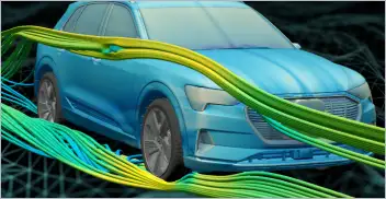
From geometry preparation to AI-assisted analysis, integrated CFD workflows…
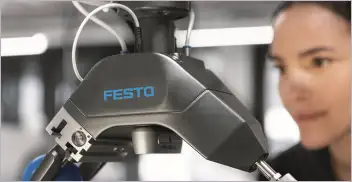
Software-based GripperAI manages mixed picking through basic geometry
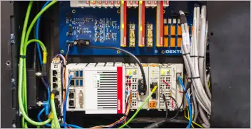
Safety, communication and motion control components enable smooth operation
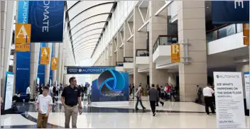
North America’s largest robotics and automation event winds down